
Drone Mapping Strategies Benefit Manufactured Housing Communities
By Seth Thompson, National Land Realty
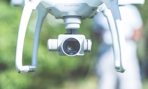
Year to year, the evolution of computer technology can be staggering. In most cases, the advancements cause disruption— and opportunity—in every industry. In real estate, one such disruption is caused by drones, which have become an extremely effective tool for mapping and marketing property.
Drone mapping is replacing manned aerial flyovers, like Google Earth, a technology the industry has relied on for decades. More than taking pictures, videos, and plotting property boundaries on a map, drone mapping provides buyers and sellers with low-cost, high-resolution, and frequently updated imagery.
Drone Mapping for Manufactured Housing Communities
 Drones autonomously capture multiple overlapping images that are georeferenced and stitched together to create an orthomosaic, used just like any other layer in a GIS to serve as an accurate, high-resolution, updated aerial basemap.
Data such as boundary lines, trails, flood zones, and topographic contours can be laid on top of the drone imagery for mapping. Informative manufactured housing community data about utilities, damage, repair, and maintenance also be collected and plotted.
Photogrammetric software is available for drone mapping, such as Pix4D, DroneDeploy. Each software has its pros and cons, but all generate more than just imagery. A standard DJI drone and camera alone can create 3D meshes, digital elevation models, and measure plant health (via VARI algorithm). The data outputs can be used to generate topographic contours, identify troubled areas in agricultural fields, or even help determine the best location to build.
A small, helpful practice is adding the property boundaries and descriptive text on the drone photos. Software such as Photoshop or GIMP can aid with editing the raster photos themselves and adding vector boundaries and text.
Drone Pilot Certification
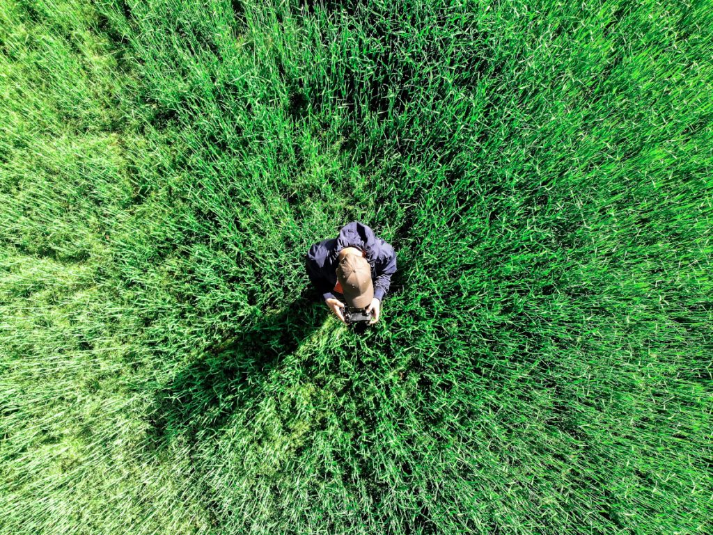
Drone pilots will tell you one of the best parts of drone mapping is being able to fly as you show a property to potential buyers, or discuss expansion projects with contractors.
It is even possible to buy and sell properties that have never been walked in person, because of the ability to survey the property through a live feed on a tablet from an airborne drone.
An FAA Part 107 certification is highly recommended for becoming a successful drone pilot and drone mapping. Many local and online schools offer preparation for the 60-question test. Drone Launch Academy online offers a pass guarantee or your money back.
Occasionally, you will need to coordinate with the airport before you fly, so it is always a clever idea to plan your flights ahead of time, particularly if a property or established community is near an airport or restricted airspace.
The Bottom Line About Drone Mapping
Modern drone technology is an excellent mapping tool that helps agents close deals more quickly. There are an exponential number of supplementary applications that provide a myriad of benefits to those in the broker industry. When all is said and done, drone mapping is a must-have for every listing in the brokerage industry.
Seth Thompson is a Realtor with National Land Realty licensed in Northwest Alabama and based out of the Tuscumbia (Ala.) office. The company’s proprietary video technology, Land Tour 360™, as well as its GIS land mapping system, LandBase™, is offered for free to the public. As a Land Professional, Thompson offers professional representation, integrity, and a keen depth of knowledge in land transactions.


